Lake Sakakawea Water Level Right Now
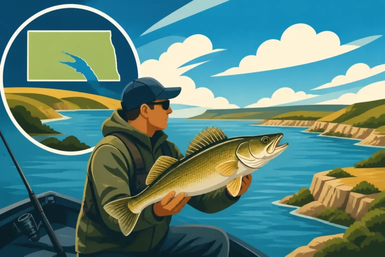
Anglers in North Dakota often find themselves in a constant dance with Mother Nature, and nowhere is that more apparent than on the majestic waters of Lake Sakakawea. The ever-fluctuating water levels on this massive reservoir can completely transform your fishing experience, impacting everything from boat ramp access to where the walleye are holding. It can be incredibly frustrating to plan a trip only to find your favorite launch ramp is high and dry, or the fish patterns you studied are completely irrelevant. This guide is here to demystify Lake Sakakawea's water levels, helping you understand how to find current information and, more importantly, how those numbers dictate your next successful outing.
Understanding Lake Sakakawea's Current Water Levels
When you're planning a trip to Lake Sakakawea, knowing the current water level isn't just a nice-to-have; it's absolutely crucial for safety, access, and ultimately, your fishing success. This vast reservoir, formed by the Garrison Dam on the Missouri River, is part of a complex system managed for flood control, navigation, irrigation, and hydropower, all of which contribute to its dynamic nature. Without understanding where to get this vital information and how to interpret it, you might as well be heading out blind.
Where to Find the Most Up-to-Date Information
The absolute best and most reliable source for Lake Sakakawea's current water level data is the U.S. Army Corps of Engineers (USACE). They are the stewards of the Missouri River Mainstem Reservoir System, and their data is updated daily, sometimes even multiple times a day during periods of rapid change. You'll want to look for the "Missouri River Mainstem Reservoir System Daily Report" or specific lake data. While local bait shops and fishing forums can offer anecdotal evidence or rough estimates, the USACE provides the precise, measured elevation that guides everything else. Learning to navigate their website or finding direct data feeds for Lake Sakakawea (often listed under "Garrison Dam") is a skill every serious Sakakawea angler should master. Many apps and websites pull directly from this data, but it's always good to go to the source to avoid any outdated information.
Once you find the data, you'll see the water level typically reported in "feet above mean sea level" (MSL). For instance, a report might say "Lake Sakakawea: 1838.5 feet MSL." This isn't just a random number; it's the official elevation. You might also see figures for inflow (how much water is entering the lake from upstream) and outflow (how much water is being released downstream through the dam). These inflow and outflow numbers give you a clue about whether the lake level is rising or falling, and at what rate. A large difference between inflow and outflow means significant changes are underway, potentially affecting fish behavior and access points rapidly. For instance, if inflow is much higher than outflow after heavy rains upstream, you can expect the lake to begin rising, perhaps flooding new shoreline vegetation that could attract baitfish and subsequently, walleye.
Interpreting the Numbers: Full Pool vs. Operating Range
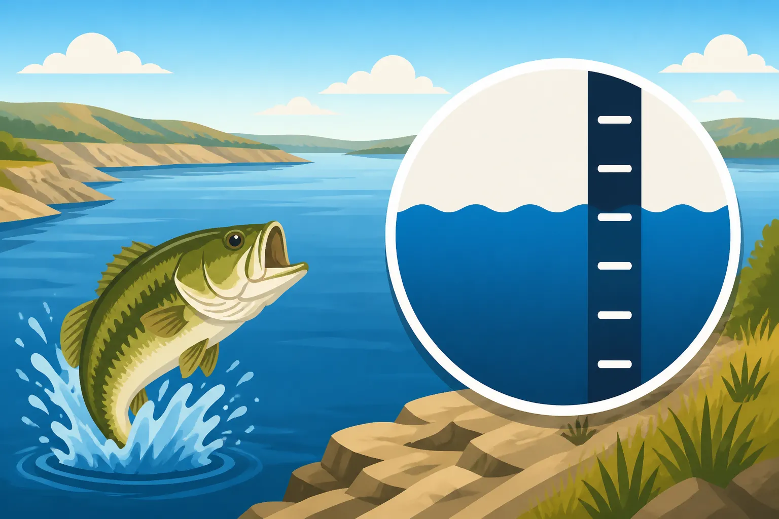
Understanding what that "feet MSL" number actually means requires a bit of context. Lake Sakakawea has a designated "full pool" elevation, which is generally considered to be around 1850 feet MSL. This is the level where the lake is at its maximum intended capacity, and shorelines are typically well-defined, and all public boat ramps are fully operational. When the lake is at or near full pool, the vast expanses of water offer endless opportunities, though fish can be more spread out.
On the other end of the spectrum is the "minimum operating pool," which for Lake Sakakawea is roughly 1775 feet MSL. If the lake drops below this level, it starts to significantly impact hydropower generation, water supply, and navigation downstream. The typical operating range falls between these two figures, but fluctuations within this range can still be substantial. When you see the current level, say 1838 feet MSL, you can quickly calculate that it's 11.5 feet "down from full." This measurement, "feet down from full," is often what local anglers talk about because it gives them a quick mental picture of how much shoreline has receded and how many ramps might be impacted. A drop of 10 feet from full pool means a lot more exposed shoreline, new underwater structure that was once too deep to matter, and potentially closed boat ramps. Knowing these benchmarks helps you assess the fishing conditions before you even leave your driveway.
The Direct Impact of Water Levels on Lake Sakakawea Fishing
The water level on Lake Sakakawea doesn't just change the scenery; it fundamentally alters the underwater world and, consequently, how and where you can successfully fish. Ignoring these changes is a surefire way to have a frustrating day on the water. Every foot up or down can shift fish patterns dramatically and make your go-to spots unrecognizable.
How Water Level Affects Fish Behavior and Location
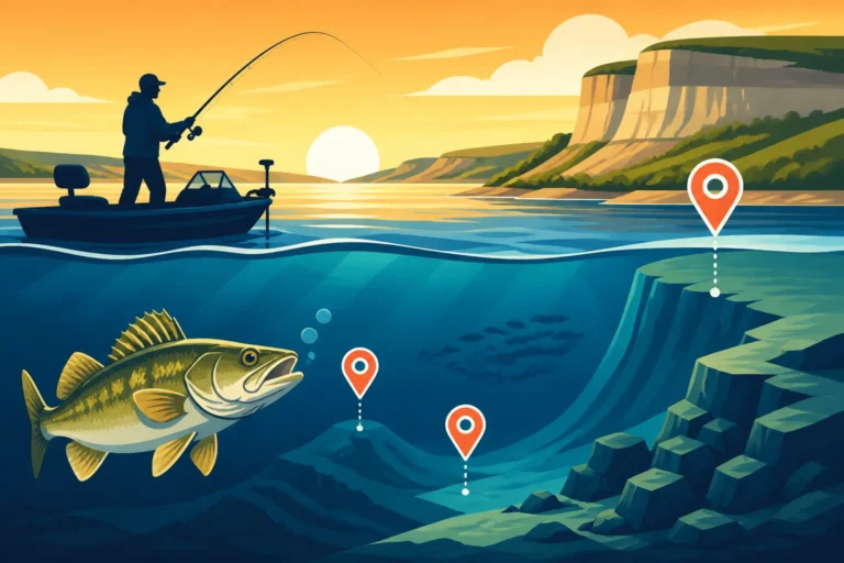
Imagine Lake Sakakawea when it's at a higher elevation, say above 1845 feet MSL. The water spreads out, flooding new areas of shoreline, often inundating brush, grass, and even small trees. For fish like walleye and northern pike, this new flooded cover is like an all-you-can-eat buffet and prime hiding spot. Baitfish move into these newly submerged areas to feed and hide, and the predators follow close behind. In these conditions, fish can be widely dispersed, making them harder to locate. You might find walleye aggressively feeding in just a few feet of water amongst the flooded timber or casting crankbaits along newly created weed lines. Conversely, if you're targeting perch, they might be scattered more broadly, taking advantage of new feeding grounds that were previously dry land. Understanding this "spread out" behavior is key to adapting your North Dakota Walleye Fishing Techniques.
Now, picture the opposite scenario: the water level is low, perhaps below 1820 feet MSL. The lake shrinks, exposing vast mudflats, rocky shorelines, and once-submerged points. This forces fish to concentrate in fewer, deeper areas, often relating to main lake channels, prominent points, or remaining isolated deep cover. While this might sound easier, as fish are more "concentrated," it also means less natural cover and potentially more competition among predators. Walleye might pull out to deep ledges or channel breaks, while perch could be schooled up tightly in specific deep basins. Even Chinook salmon, typically found in deeper, cooler water, might hold in more predictable thermocline layers within the main lake body. The reduced water volume also means water temperatures can fluctuate more quickly, impacting fish metabolism and activity levels. This is where your fish finder becomes an indispensable tool to locate those deeper congregations.
Navigational Challenges and Access Points
One of the most immediate and tangible impacts of fluctuating water levels on Lake Sakakawea is on boat ramp accessibility. Many of the lake's public boat ramps, while robust, are designed for specific water levels. When the lake drops significantly, ramps can become too shallow to launch, or the end of the ramp might be a steep drop-off into soft mud, making retrieval dangerous or impossible. Popular access points like the Van Hook arm or certain bays near Tobacco Garden can become completely unusable for larger boats. Even if a ramp is technically open, the approach might be riddled with obstacles, and launching a sizable boat can become a real challenge. You might find yourself searching for the Best Boat Ramps on Lake Sakakawea that are still usable at lower levels.
Beyond ramps, navigation itself becomes much more perilous during low water periods. Submerged hazards that were once deep enough to ignore, such as rock piles, old fence lines, or even entire roads from homesteads long since flooded, become exposed or lurk just inches below the surface. Striking one of these can cause severe damage to your lower unit or hull. Always consult up-to-date navigational charts and proceed with extreme caution, especially when exploring new areas or running off the main channel. For shore anglers, low water can mean vast, mucky expanses between you and the water's edge, making access difficult or requiring long walks over uneven terrain. On the flip side, extremely high water can submerge parking areas and make shore access problematic too. Marinas might have issues with docking, fuel access, and other services during extreme low water conditions, so it's wise to call ahead if you plan to use their facilities.
Historical Fluctuations and Future Outlook
Lake Sakakawea's water levels are never static. They are a continuous story, written by weather patterns, human management decisions, and the sheer scale of the Missouri River Basin. Understanding this bigger picture can help you anticipate changes and adapt your fishing plans rather than being caught off guard.
Factors Driving Lake Sakakawea's Water Level Changes
The primary driver of Lake Sakakawea's water levels is its role within the larger Missouri River Mainstem Reservoir System. The U.S. Army Corps of Engineers manages a series of six large dams along the Missouri River, including Garrison Dam which forms Sakakawea. Their operations balance multiple, sometimes competing, demands: flood control for downstream communities, navigation support for barges in the lower Missouri, hydropower generation, irrigation for agriculture, municipal water supply, recreation, and wildlife habitat. This means that decisions made far upstream in Montana or Wyoming regarding snowpack releases, or downstream in South Dakota regarding drought conditions, directly influence how much water is held in or released from Lake Sakakawea.
Significant snowpack in the Rocky Mountains and heavy spring rains in the upper Missouri River basin generally lead to higher inflows and rising lake levels in Sakakawea. Conversely, prolonged droughts upstream, combined with high demands for downstream releases, can cause the lake to drop steadily. Evaporation, especially during North Dakota's hot, windy summers, also plays a surprisingly large role, with the lake losing significant amounts of water to the atmosphere each day. This complex interplay of natural forces and human engineering means that while levels fluctuate, they do so within a managed system. Understanding these large-scale trends can help you predict general seasonal patterns, but always check the real-time data for the most accurate picture.
Adapting Your Fishing Strategy to Changing Conditions
Given these constant changes, the most successful anglers on Lake Sakakawea are those who remain adaptable. Trying to fish a "secret spot" that was phenomenal five feet higher or lower could lead to a fruitless day. Instead, think about the types of structure fish relate to, and how those change with water depth. In higher water, fish might be shallow, near freshly flooded terrestrial vegetation. Your strategy might involve pitching jigs or shallow-running crankbaits into the new cover. You might also find fish relating to new points or shelves that have become submerged.
In contrast, when water levels are low, fish tend to move to deeper, more defined structures: main lake points, submerged humps, channel breaks, and the edges of the old river channel. Here, techniques like jigging spoons, deep-diving crankbaits, or bottom bouncers with worms or minnows become more effective. Always scout new areas carefully with your electronics or even a topographic map before motoring at speed. If you're feeling overwhelmed by the constant changes, considering a guided trip can be immensely helpful. Services like FishingBooker can connect you with experienced local guides who spend countless hours on the lake and understand precisely how fish are reacting to the current conditions, saving you valuable time and frustration. They can put you on fish even when the lake throws you a curveball.
Practical Tips for Anglers Navigating Varying Levels
Successfully fishing Lake Sakakawea means being prepared for anything the water level throws at you. It requires a blend of diligent planning, smart gear choices, and flexible on-the-water tactics. Don't let the vastness and variability intimidate you; instead, empower yourself with knowledge and readiness.
Pre-Trip Planning and Gear Adjustments
The most critical step for any Lake Sakakawea trip is to check the USACE water level data as close to your departure as possible. Conditions can change day-to-day, so what was true a week ago might not be true today. This will tell you if your intended boat ramp is viable and if there are any immediate navigational warnings. If you find the levels are very low, consider if your current boat is suitable. Perhaps a smaller craft, or even exploring the Best Kayaks for North Dakota Fishing, might offer better access to secluded bays or shallower areas that larger boats can't reach. Remember that low water also increases the risk of hitting submerged obstacles, so having reliable GPS and current mapping software for Lake Sakakawea is absolutely essential. A good fish finder can help you spot underwater hazards before you run over them, ensuring a safer outing.
It's also a good idea to pack versatile fishing gear. While you might have a go-to walleye setup, having rods capable of handling different depths and presentations is smart. This might mean having both light jigging rods for shallower, cover-oriented fishing and heavier setups for deep-water trolling or vertical jigging. Consider bringing extra anchors if you plan to fish windy conditions or areas with strong current, as a single anchor might not hold effectively on a steep, muddy bank exposed by receding water. Finally, always have an up-to-date North Dakota Fishing Regulations Explained booklet on hand, as rules on certain areas or species might be affected by specific water conditions.
On-the-Water Tactics for Success
Once you're out on the water, flexibility is your greatest asset. Don't be afraid to experiment. If your usual spot isn't producing, don't waste hours flogging dead water. Use your fish finder not just to find fish, but to identify changes in depth, structure, and baitfish presence. If the water is lower than you're used to, focus on areas with sharper drop-offs, points that extend further into the main lake, or the old river channel itself. If it's higher, look for newly flooded terrestrial vegetation, submerged timber, or newly formed weed lines that might be holding baitfish.
Pay close attention to subtle signs of life, like diving birds indicating schools of baitfish, or surface activity. These can be crucial clues to where the fish are holding, especially when they are spread out in high water. Don't be afraid to change lures, colors, or presentation styles frequently until you find what works. Sometimes a slight change in jig weight, a different crankbait color, or a slower retrieve can make all the difference. And as mentioned, if you're struggling to crack the code on a particularly challenging day or unfamiliar conditions, consider tapping into local expertise. Booking a trip through platforms like FishingBooker allows you to connect with guides who have a pulse on the lake's current state and can show you techniques and locations tailored to the prevailing water levels. They can often jumpstart your learning curve and turn a tough day into a memorable one, ensuring you make the most of your time on this incredible body of water, whether it's high, low, or somewhere in between.
| Water Level (ft MSL) | Description (Relative to Full Pool ~1850 ft) | Angling Impact | Access Considerations |
|---|---|---|---|
| 1840-1850 | Near Full Pool | Fish widely dispersed, utilize new shallow cover (flooded vegetation) | All major ramps open, easy navigation, full range of fishing options |
| 1820-1840 | Moderately Below Full | Fish relate to existing structure, some shallow cover recedes, main lake activity | Most major ramps open, but watch for newly exposed hazards or shallower ends |
| 1800-1820 | Significantly Below Full | Fish concentrate on main lake structure, channel breaks, and deep points | Some major ramps become unusable, smaller boats/kayaks may gain access to previously unreachable spots |
| Below 1800 | Very Low | Fish heavily concentrated in deep channels and limited remaining cover | Many ramps closed, extreme caution needed for navigation, hidden hazards abundant, shore fishing may be difficult |
Disclaimer
Please remember that fishing conditions, regulations, and water levels can change rapidly. Always consult the official North Dakota Game and Fish Department website and the U.S. Army Corps of Engineers for the most current regulations and water level data before planning your trip. Safety on the water is paramount; always wear a life jacket and be aware of weather conditions.