Do You Need a Chartplotter for a Lake This Big?
Fishing North Dakota's vast waters can feel like an adventure into the unknown, especially when you're staring across the seemingly endless expanse of a lake like Sakakawea or Devils Lake. Many anglers wonder if they really need a fancy electronic chartplotter, or if their trusty paper map and compass will suffice. This guide will dive deep into whether a chartplotter is a necessity or a luxury for navigating North Dakota's biggest lakes, helping you make an informed decision for your next fishing excursion.
What Exactly is a Chartplotter and Why is it So Valuable on Big Water?
Before we get into the specifics of North Dakota's colossal reservoirs, let's nail down what a chartplotter actually is and why it's become such an indispensable tool for so many anglers. It's more than just a simple GPS; it's a sophisticated navigational system designed specifically for marine environments, blending your precise location with highly detailed nautical charts.
Beyond Basic GPS: The Power of Detailed Mapping
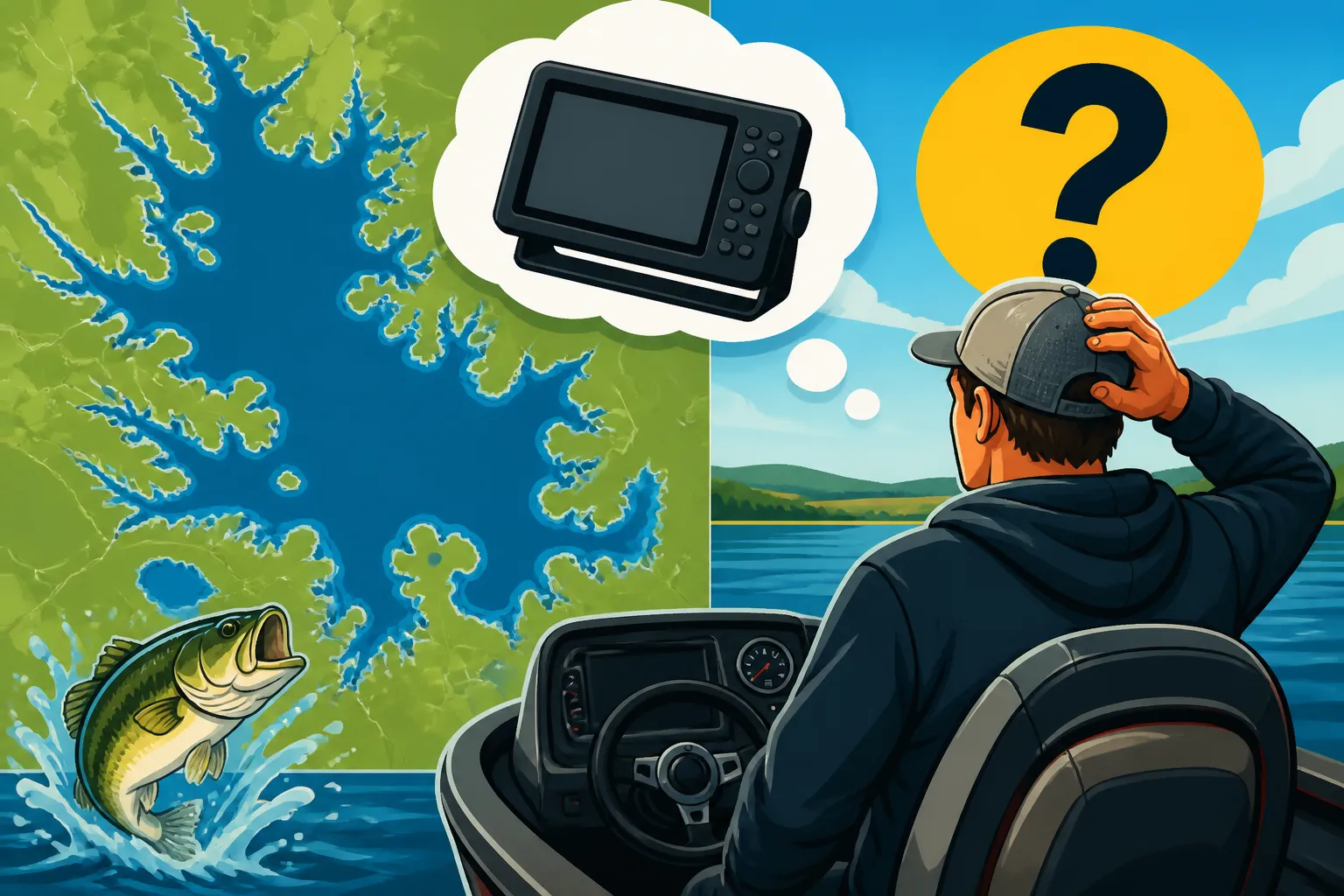
While a standard GPS unit or even your smartphone can tell you where you are, a chartplotter shows you what's around you with an incredible level of detail, both above and below the waterline. It takes your real-time GPS position and overlays it onto rich, bathymetric charts that reveal the underwater topography.
On a lake the size of Lake Sakakawea, which boasts an incredibly intricate shoreline and vast areas of open water, understanding what lies beneath the surface is paramount. We're talking about submerged creek channels, old roadbeds, rock piles, drop-offs, and humps that are absolute magnets for fish. Without a chartplotter, finding these critical structures is often a guessing game, relying heavily on local knowledge or sheer luck. It's the difference between blindly cruising and purposefully navigating to a prime fishing spot.
Think about it: you might have heard from a friend that "the walleye are holding on the south side of the main lake breakline." A simple GPS could get you to the general area, but a chartplotter with its highly detailed contours can show you exactly where that breakline is, how steep it drops, and even indicate possible brush piles or rock formations that don't appear on standard maps. This precision saves hours of unproductive searching and puts you right on top of the fish. These units often come pre-loaded with comprehensive mapping for North American lakes, or you can purchase supplemental map cards that offer even greater detail. Companies like Humminbird or Lowrance often provide various mapping options, allowing you to choose the level of detail that suits your needs and budget. Browsing these options on sites like Amazon or even at a physical store like Bass Pro Shops can give you a good idea of what's available.
Enhancing Safety and Navigation in Unfamiliar Territory
Safety is another huge factor, particularly when you're exploring a new lake or when conditions take a turn for the worse. Big lakes can generate significant waves and chop, and fog or heavy rain can reduce visibility to almost zero in a matter of minutes. In such conditions, relying on visual landmarks is impossible. A chartplotter acts as your digital lifeline, showing your exact position relative to shorelines, navigation markers, and most importantly, underwater hazards.
Imagine you're out on Lake Oahe, a massive reservoir spanning both North and South Dakota, and an unexpected storm rolls in. The wind picks up, waves crash over your bow, and the visibility drops. Trying to find your way back to a familiar boat ramp or safe harbor without a clear understanding of your surroundings can be terrifying and dangerous. With a chartplotter, you can instantly see your route, mark waypoints for safe passage, and track your progress, ensuring you avoid shallow areas or submerged structures that could damage your boat.
For those venturing into unfamiliar areas, like the numerous bays and arms discussed in the Lake Sakakawea Fishing Guide for North Dakota Anglers, a chartplotter provides an immediate sense of direction and confidence. You can quickly discern safe travel lanes, pinpoint access points, and even find emergency shelters or alternative ramps if your original plan changes. This confidence allows you to explore more, worry less, and ultimately enjoy your time on the water more fully. It’s an invaluable tool for any angler who respects the power and unpredictability of large bodies of water.
Navigating North Dakota's Giants: When a Chartplotter Becomes Essential
Now, let's talk specifically about North Dakota's fishing scene. When you're tackling the big waters here, the question isn't just "do I need a chartplotter?" but "how much will I truly gain by having one?" The answer, especially for the sprawling reservoirs, leans heavily towards "a lot."
Lake Sakakawea and Lake Oahe: The Sheer Scale Demands It
When we talk about North Dakota's "big lakes," Lake Sakakawea immediately comes to mind. It's an immense body of water, stretching over 170 miles long with thousands of miles of shoreline, making it one of the largest man-made lakes in the world. Its sheer scale means that unless you've spent decades fishing every nook and cranny, there's always something new to discover – and plenty of places to get disoriented or miss prime fishing structure. For this kind of fishing, a chartplotter isn't just helpful; it's practically a necessity.
The lakebed of Sakakawea is essentially a submerged river valley, complete with old farmsteads, shelterbelts, and winding river channels. Walleye, northern pike, and Chinook salmon often relate directly to these underwater features. Trying to find a specific submerged hump or the edge of an old creek channel in 100 feet of water without precise mapping is akin to looking for a needle in a haystack. A chartplotter helps you visualize these hidden contours, allowing you to focus your fishing efforts on high-probability areas rather than just drifting aimlessly. Plus, finding the Best Boats for Lake Sakakawea's Big Water also means considering how you'll navigate such an expansive body.
The same goes for Lake Oahe, particularly its North Dakota stretches. While often overshadowed by Sakakawea, Oahe is still a massive reservoir with a complex underwater topography. Anglers targeting walleye or trophy catfish on Lake Oahe Fishing Guide will benefit immensely from a chartplotter's ability to reveal subtle changes in depth, isolated structure, and prime feeding grounds that are otherwise invisible. Factor in fluctuating water levels that can expose new hazards or inundate previously visible landmarks, and a chartplotter becomes your most reliable companion. The detailed maps in a Best GPS Chartplotter for Lake Sakakawea are truly invaluable here.
Devils Lake and Other Feature-Rich Lakes: Finding the Sweet Spots
Devils Lake presents its own unique set of challenges and opportunities, making a chartplotter extremely valuable, albeit for different reasons than the vast open expanses of Sakakawea. Devils Lake is famous for its rising water levels over the years, which have flooded entire communities, forests, and roads. This creates an incredibly rich and complex underwater environment, full of flooded timber, old shelterbelts, culverts, and submerged roadbeds that are absolute magnets for yellow perch and walleye. For anyone fishing the Devils Lake Fishing Guide for North Dakota Anglers, a chartplotter becomes your personal guide through this underwater maze.
Imagine trying to navigate a dense, flooded forest by memory alone, even if that forest is underwater. It's incredibly difficult. A chartplotter, especially one with high-definition mapping, can display these submerged trees and structures with surprising clarity. This not only helps you avoid propeller damage but, more importantly, allows you to pinpoint those specific clumps of timber or rock piles where the big perch are hiding. When targeting species in specific habitats, like trying to find perch schools under the ice or tracking walleye movements in these flooded areas, the detailed contours and structure representations are game-changers. How to Read a Fish Finder for Ice Fishing often goes hand-in-hand with chartplotter data for pinpoint accuracy.
Beyond Devils Lake, many other North Dakota lakes, though smaller, still benefit greatly from the precision of a chartplotter. Lakes with distinct drop-offs, feeder creeks, or pronounced structure will yield better results when you can accurately interpret the underwater landscape. Knowing How to Find Walleye Structure With a Map or effectively using Deep Water Structure Fishing Techniques become far easier with a good chartplotter guiding your way.
Choosing the Right Chartplotter: Features and Considerations for North Dakota Anglers
So, you're convinced a chartplotter is a good idea. Now, which one? There's a dizzying array of options out there, but a few key features stand out for North Dakota's diverse fishing environments.
Key Features for Effective Navigation and Fishing
First and foremost, consider screen size and resolution. On big water, where you might be scanning the map constantly, a larger screen (7 inches or more) makes a huge difference. High resolution means clearer, more detailed maps, which is critical for deciphering subtle depth changes or identifying specific underwater structures. You don't want to squint at a tiny screen trying to differentiate between a slight contour change and a major drop-off when the waves are rolling.
Next, look for excellent mapping detail. Many units come with basic mapping, but investing in higher-end charts, like those offered by Navionics or LakeMaster, can provide incredible fidelity for North Dakota lakes. These premium maps often include high-definition contours, shaded relief, and even satellite imagery overlays that can show you exact shorelines and even submerged timber lines more accurately. When you’re trying to pinpoint a specific structure or locating fish in a complex environment like Devils Lake, this level of detail is invaluable.
Integration with sonar capabilities is almost a given these days, but the type of sonar matters. Many modern chartplotters combine GPS mapping with traditional 2D sonar, DownImaging, and SideImaging. DownImaging gives you a photographic-like view directly beneath your boat, while SideImaging extends your view out to the sides, allowing you to scan large areas for structure and fish schools without driving directly over them. This is especially useful for quickly locating submerged humps or brush piles on vast lakes. When selecting your unit, definitely check for comprehensive Best Fish Finders for Boat Fishing integration.
Budget, Brands, and Installation
Budget is often the biggest factor, and the good news is that chartplotter technology has become more accessible. You can find entry-level units that combine basic GPS with a fish finder for a few hundred dollars, while high-end, multi-function displays with massive screens and advanced sonar can run into the thousands. It’s worth sitting down and thinking about how serious you are about your fishing and how often you'll be on the big lakes. A weekend angler hitting a small local lake might not need the same powerhouse unit as someone spending weeks chasing walleye on Sakakawea.
Popular brands like Humminbird, Lowrance, Garmin, and Raymarine dominate the market, each with their own loyal following and unique features. It’s a great idea to compare models and read reviews. Websites like Bass Pro Shops and Amazon are excellent resources for comparing specifications, prices, and user feedback. Don't be afraid to visit a local marine electronics dealer if you have one, to get hands-on with different units and ask questions specific to North Dakota's waters.
Finally, consider installation. Most chartplotters are relatively straightforward to install if you're comfortable with basic wiring and mounting. However, if you're upgrading to a larger unit or want a cleaner, more professional installation, especially for complex networking with other marine electronics (like Best Trolling Motors for North Dakota Lakes with integrated GPS), professional installation might be a wise investment. Make sure to think about where the unit will be mounted, ensuring it's easily visible and accessible from your driving position, and protected from the elements.
| Feature | Basic GPS Unit (Phone/Handheld) | Entry-Level Chartplotter | Mid-Range Chartplotter | High-End Multi-Function Display (MFD) |
|---|---|---|---|---|
| Mapping Detail | Basic roads, some water features | Good lake contours | High-def contours, shaded relief | Advanced bathymetric, 3D, satellite |
| Screen Size | Small (4-6 inches) | 5-7 inches | 7-9 inches | 9-16+ inches |
| Sonar Integration | None | Basic 2D Sonar | 2D, DownImaging, basic SideImaging | Full suite (2D, DI, SI, Live Sonar) |
| User-Friendliness | High (familiar apps) | Moderate | Moderate to High | Moderate (more features = steeper learning curve) |
| Connectivity | Cellular/Bluetooth | Limited NMEA 0183 | NMEA 2000, Ethernet, Wi-Fi | Full NMEA 2000, Ethernet, Wi-Fi, apps |
| Cost | Low | Moderate | Higher | Very High |
| Value on Big Lakes | Limited (safety concerns) | Good (basic navigation) | Excellent (structure finding) | Essential (pro-level fishing & safety) |
Alternatives and Complementary Tools for Enhanced Navigation
Even if you decide a full-blown chartplotter is exactly what you need, it's wise to remember that technology is just one piece of the puzzle. Other tools and approaches can significantly enhance your time on the water, whether they're backups or primary methods.
The Enduring Value of Paper Maps and Local Knowledge
Even with the most advanced chartplotter money can buy, never underestimate the enduring value of a good old-fashioned paper map. Electronic devices can fail due to battery drain, water damage, or technical glitches. Having a laminated paper map of the lake in your boat bag serves as a crucial backup, ensuring you can still navigate safely if your electronics go dark. These maps often include general depth contours, access points, and emergency information that's easy to reference without power. They also provide a fantastic overview of the entire lake, which can sometimes be lost when zoomed in on a small screen.
Beyond paper maps, local knowledge is an irreplaceable asset. Chatting with anglers at the boat ramp, visiting local bait shops, or reading community forums can provide invaluable insights that no electronic device can replicate. This might include recent fish movements, current hot baits, or even temporary hazards that aren't marked on any chart. Combining the precise data from your chartplotter with the nuanced understanding gained from local expertise creates a powerful fishing strategy. It's the difference between merely knowing where a hump is and knowing that "the walleye are really hitting on the north side of that hump after sundown."
Many seasoned North Dakota anglers will tell you that while technology helps, years of experience and understanding the subtle changes in the environment are just as, if not more, important. A chartplotter is a tool, but it doesn't replace the wisdom gained from countless hours on the water. Think of it as enhancing your existing knowledge, not replacing it entirely. An Essential Gear Checklist for North Dakota Fishing would always include both technological aids and traditional backups. Plus, knowing your Best Fishing Tackle for North Dakota Lakes is always a plus!
Leveraging Smartphone Apps and Community-Sourced Data
For anglers who aren't ready to invest in a dedicated chartplotter or want a more budget-friendly option, modern smartphone and tablet apps offer a surprisingly robust alternative. Apps like Navionics Boating or C-MAP provide detailed marine charts, GPS navigation, and even some basic sonar capabilities when paired with compatible transducers. You can download maps for offline use, mark waypoints, and track your routes, effectively turning your mobile device into a portable chartplotter. These apps are often significantly cheaper than dedicated hardware and can be easily updated.
The convenience of having all this information on a device you already own is a huge draw. Plus, many apps integrate community-sourced data, allowing users to share fishing spots, hazard warnings, and even real-time fishing reports. This can be incredibly helpful for getting up-to-date information, especially on popular fishing destinations. Sites like Amazon offer waterproof cases and mounts that can turn your phone into a more boat-friendly device, though they still won't have the same ruggedness or dedicated processing power as a purpose-built chartplotter.
However, there are important caveats. Smartphones are not designed for the harsh marine environment. Battery life can be an issue, especially with screen brightness cranked up and GPS constantly running. Touchscreens can be difficult to operate with wet hands or in cold weather, and glare can make them hard to read. While a great supplementary tool or a solid choice for smaller, calmer waters, relying solely on a phone app for navigating vast, unpredictable bodies like Lake Sakakawea Chinook Salmon Fishing or the Missouri River can be risky. For serious big-water excursions, a dedicated chartplotter still holds a significant advantage in reliability and functionality.
Disclaimer
This article is for general informational purposes only and does not constitute professional advice. Laws, prices and regulations vary by location and change over time. Consult a qualified professional for guidance on your specific situation.